"Geotagging is the process of adding geographical information to various media in the form of metadata". The data usually consists of coordinates like latitude and longitude, but may even include bearing, altitude, distance and place names. Geotagging is most commonly used for photographs and can help the officers to get lot of specific information about where the picture was taken or the exact location of a friend who logged on to a service
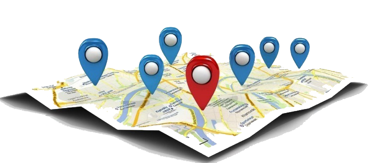
To Increase the Credibility and Accountability of the Departmental Activities TNIAMP has planned to Geotag all the department wise activities. For this an Android based Application was developed for the TNIAMP. Using this app Geotagging will be done by the camera after processing the shot, or it can be applied when the photo is posted to the server. Using the Departmental user id and password departmental members can login and handle the data. Sub basin wise, department wise and Stage wise of the crop data were Geotagged. Based on the Geotagging Query, Analysis and reports/Dashboard will be created.
Advantages of Geotagging:
- Simple And Easy to Monitor the Project Interventions
- Greater Transparency and avoid duplication
- Increase the Credibility to the Department
- Analysis and Reports can be generated.
Click here to Download - Geotagging Mobile app (v.2.0.7) for Android